State Capitals Worksheets - All 50 States by Region
All fifty US states and their capitals, on ten printable worksheets with answer keys. Free PDF — download, print, and go.
What is inside
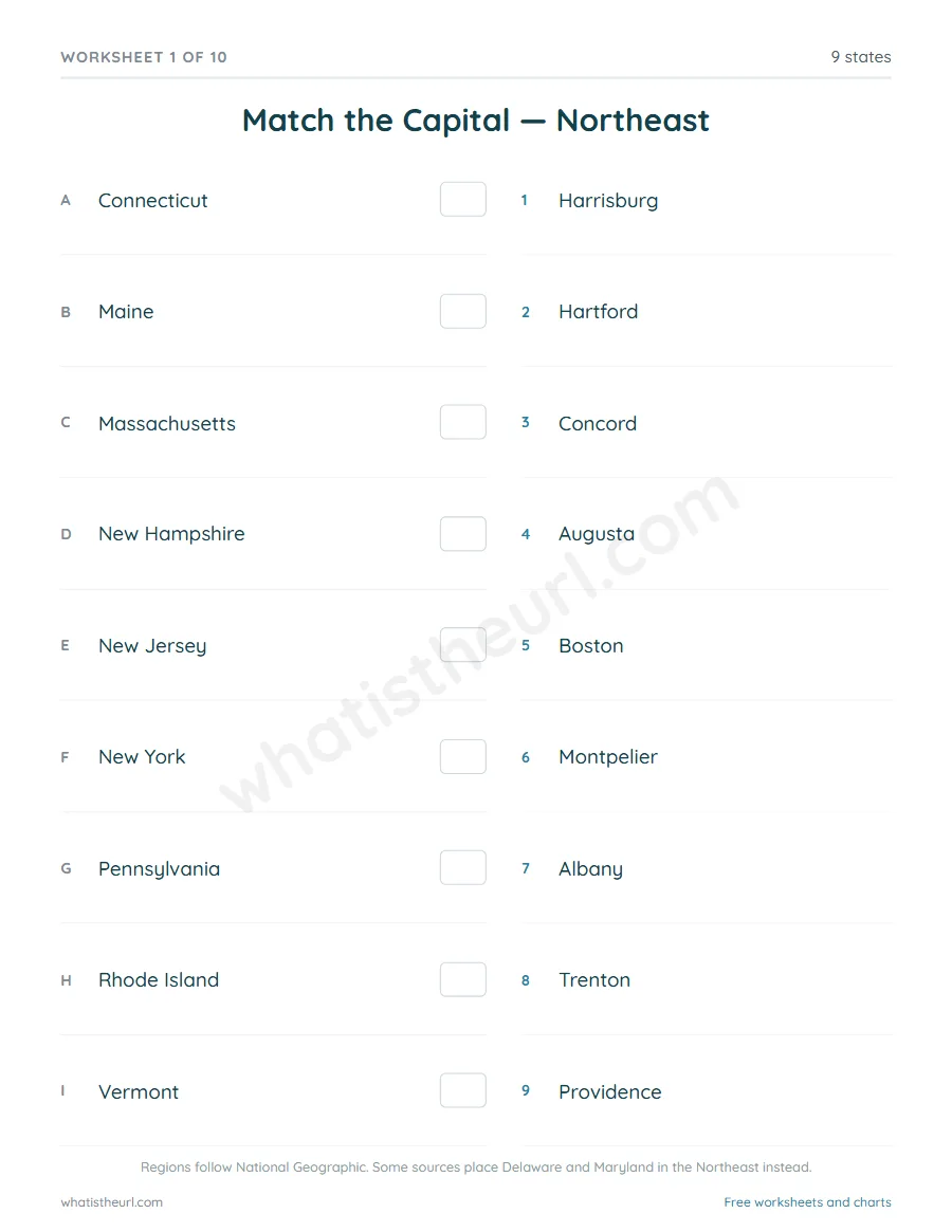
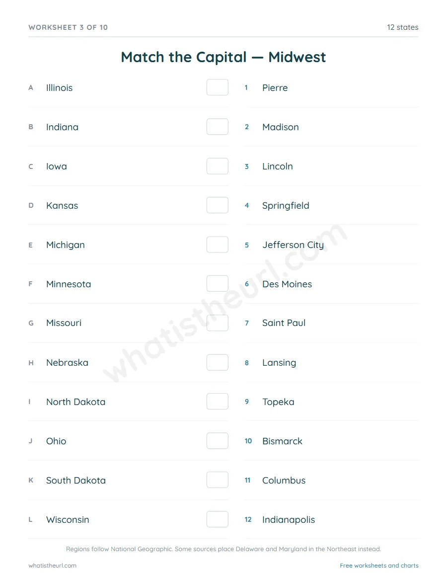
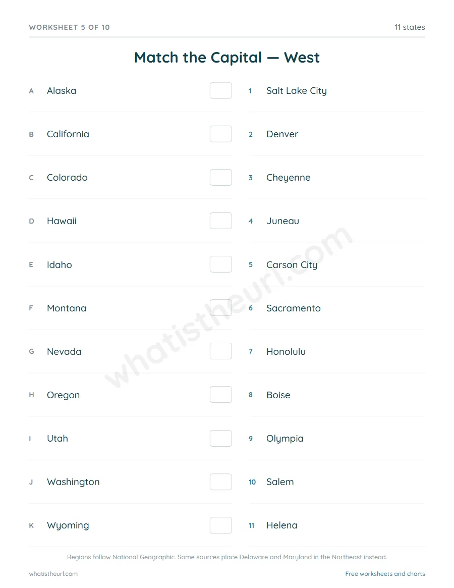
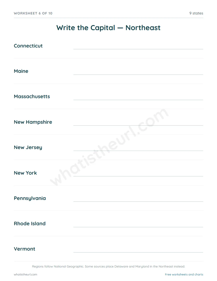
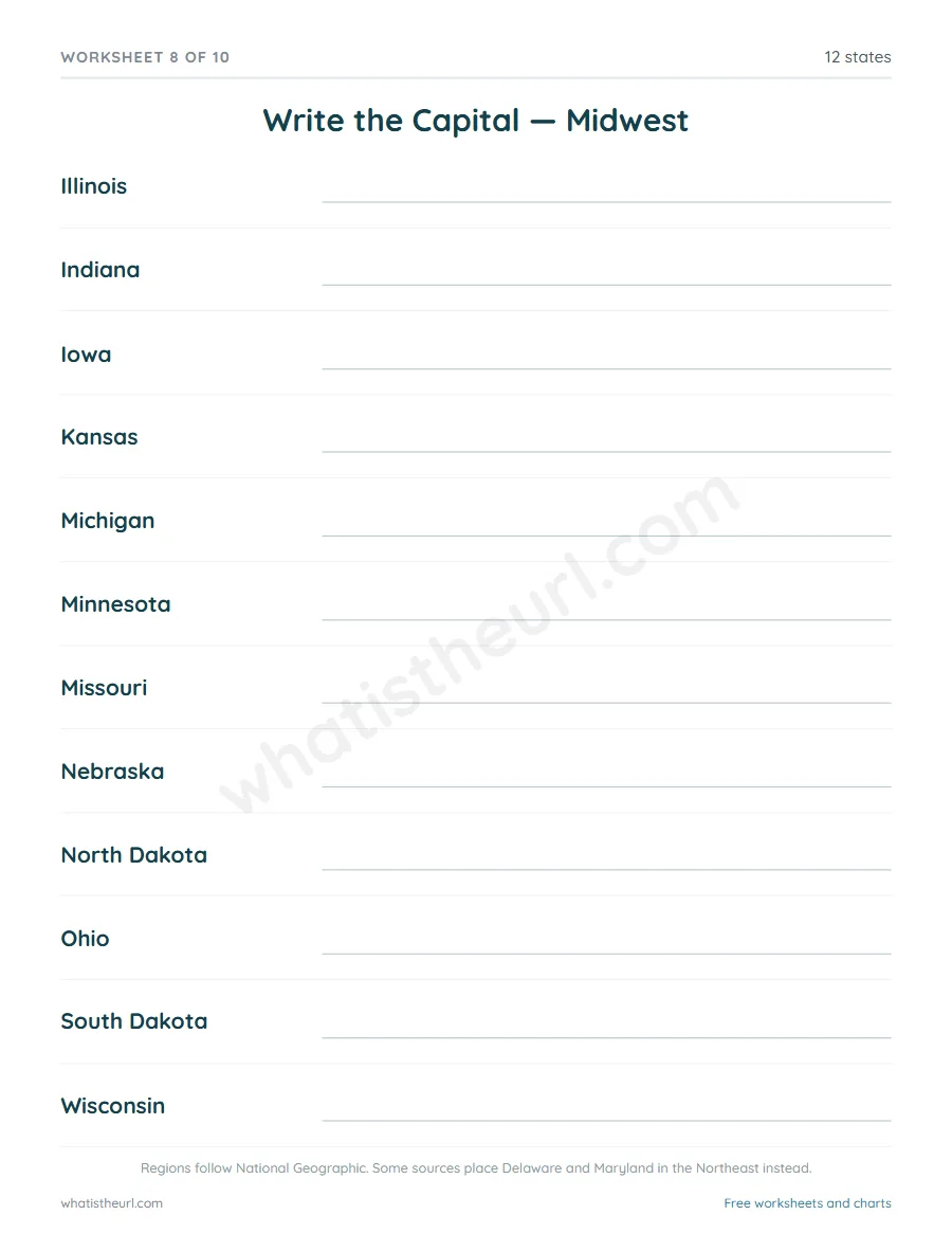
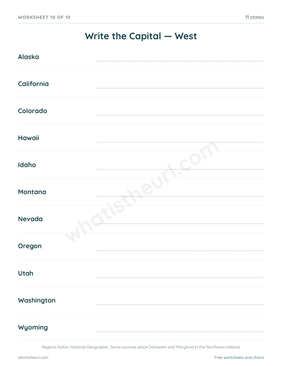
Fifty pairs on a single page is a memory dump, so the sheets follow the way the states are actually taught — region by region. Each region gets two sheets. The first is matching: states down one side, capitals down the other in a different order, with a box to write the number in. The second is writing: the state is given, the capital is not.
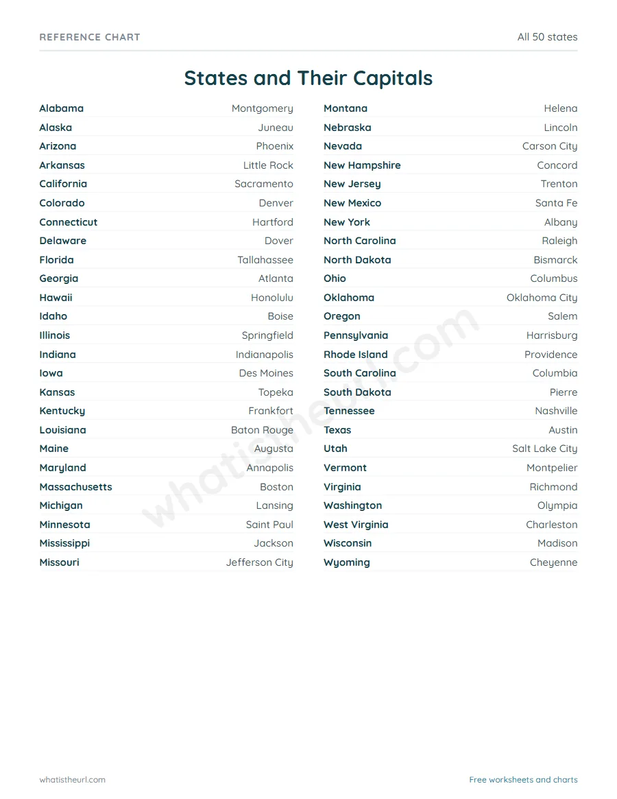
That makes ten worksheets across the Northeast, Southeast, Midwest, Southwest and West, each with its answer key on the page that follows. A reference chart of all fifty states, alphabetical, is at the back — useful to leave out while a child works, or to pin up on its own.
How to use it
Take one region at a time and do the matching sheet first. Matching only asks a child to recognise the capital; writing asks them to recall it, which is much harder. Doing both for one region before moving on works better than racing through all ten.
The Southwest has only four states, so it is the easiest place to start if you want a quick win. The Southeast has fourteen and is the longest.
A note on the regions
The five US regions are not officially defined, and sources disagree at the edges. These sheets follow National Geographic, which most US classroom material uses, and that places Delaware and Maryland in the Southeast. Other sources call them Mid-Atlantic and group them with the Northeast. Every region sheet says so at the foot, so if your curriculum splits them differently you can see exactly why and tell the class.
The capitals themselves are not in dispute — only the grouping.
US States and Capitals - 10 Worksheets with Answer Keys